FloodNet: A High Resolution Aerial Imagery Dataset for Post Flood Scene Understanding
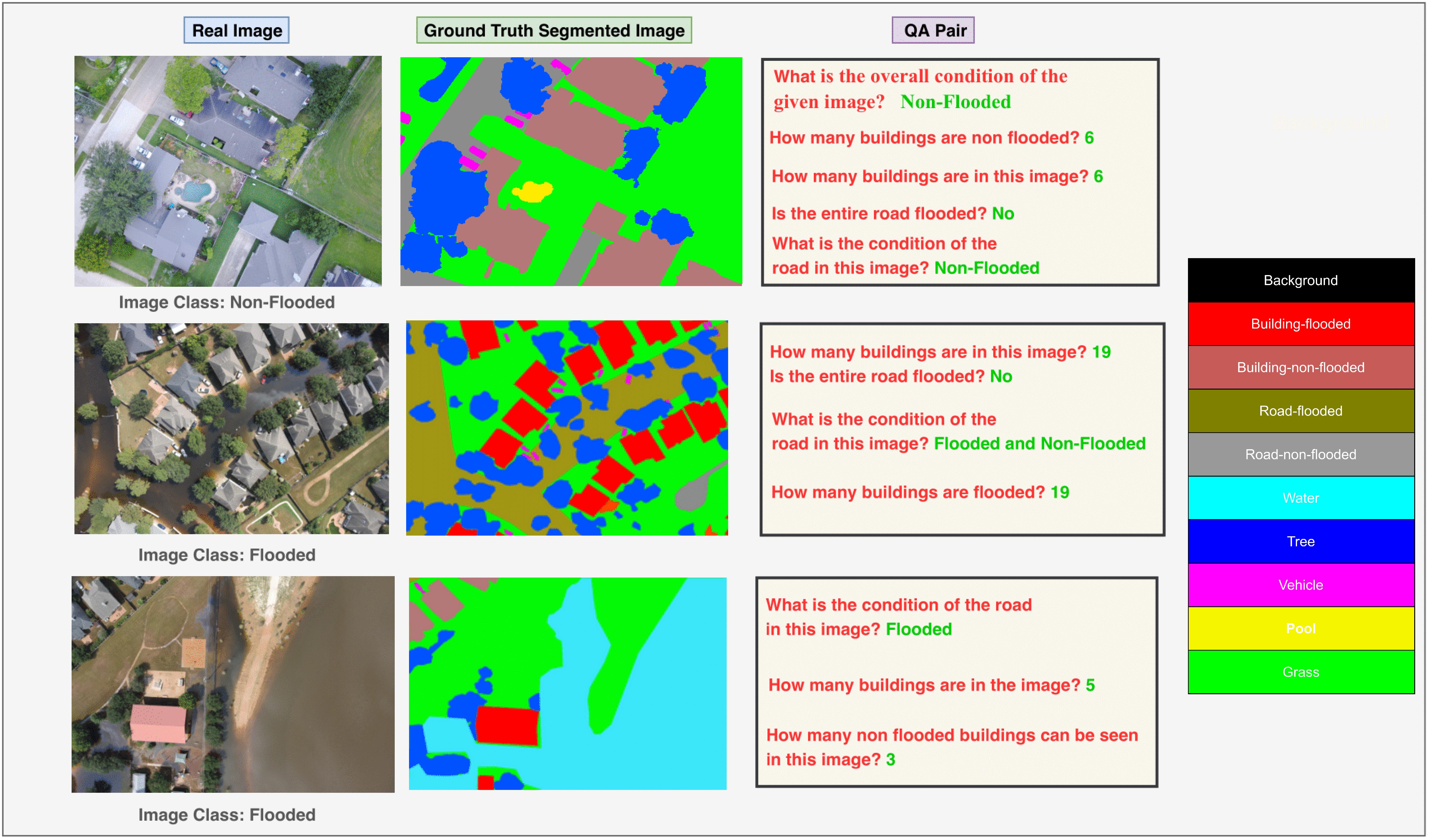
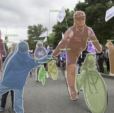
Visual scene understanding is the core task in making any crucial decision in any computer vision system. Although popular computer vision datasets like Cityscapes, MS-COCO, PASCAL provide good benchmarks for several tasks (e.g. image classification, segmentation, object detection), these datasets are hardly suitable for post disaster damage assessments. On the other hand, existing natural disaster datasets include mainly satellite imagery which have low spatial resolution and a high revisit period. Therefore, they do not have a scope to provide quick and efficient damage assessment tasks. Unmanned Aerial Vehicle(UAV) can effortlessly access difficult places during any disaster and collect high resolution imagery that is required for aforementioned tasks of computer vision. To address these issues we present a high resolution UAV imagery, FloodNet, captured after the hurricane Harvey. This dataset demonstrates the post flooded damages of the affected areas. The images are labeled pixel-wise for semantic segmentation task and questions are produced for the task of visual question answering. FloodNet poses several challenges including detection of flooded roads and buildings and distinguishing between natural water and flooded water. With the advancement of deep learning algorithms, we can analyze the impact of any disaster which can make a precise understanding of the affected areas. In this paper, we compare and contrast the performances of baseline methods for image classification, semantic segmentation, and visual question answering on our dataset.
PDF Abstract


 ImageNet
 MS COCO
 Cityscapes
 DeepGlobe
 fMoW
fMoW
 Visual7W
 DAQUAR
 xBD
xBD
 PathVQA