PolarNet: An Improved Grid Representation for Online LiDAR Point Clouds Semantic Segmentation
The need for fine-grained perception in autonomous driving systems has resulted in recently increased research on online semantic segmentation of single-scan LiDAR. Despite the emerging datasets and technological advancements, it remains challenging due to three reasons: (1) the need for near-real-time latency with limited hardware; (2) uneven or even long-tailed distribution of LiDAR points across space; and (3) an increasing number of extremely fine-grained semantic classes. In an attempt to jointly tackle all the aforementioned challenges, we propose a new LiDAR-specific, nearest-neighbor-free segmentation algorithm - PolarNet. Instead of using common spherical or bird's-eye-view projection, our polar bird's-eye-view representation balances the points across grid cells in a polar coordinate system, indirectly aligning a segmentation network's attention with the long-tailed distribution of the points along the radial axis. We find that our encoding scheme greatly increases the mIoU in three drastically different segmentation datasets of real urban LiDAR single scans while retaining near real-time throughput.
PDF Abstract CVPR 2020 PDF CVPR 2020 Abstract


 KITTI
KITTI
 nuScenes
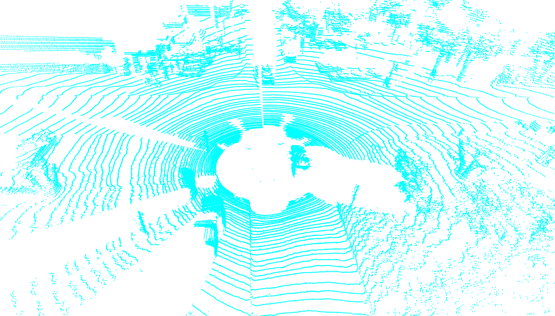
 SemanticKITTI
 SemanticKITTI-C

