The Hilti SLAM Challenge Dataset
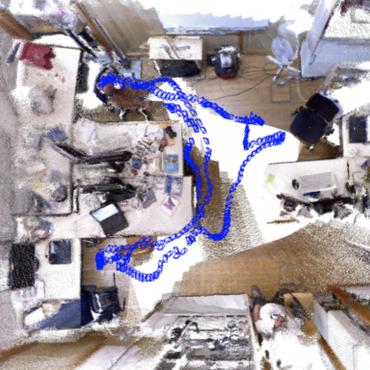
Research in Simultaneous Localization and Mapping (SLAM) has made outstanding progress over the past years. SLAM systems are nowadays transitioning from academic to real world applications. However, this transition has posed new demanding challenges in terms of accuracy and robustness. To develop new SLAM systems that can address these challenges, new datasets containing cutting-edge hardware and realistic scenarios are required. We propose the Hilti SLAM Challenge Dataset. Our dataset contains indoor sequences of offices, labs, and construction environments and outdoor sequences of construction sites and parking areas. All these sequences are characterized by featureless areas and varying illumination conditions that are typical in real-world scenarios and pose great challenges to SLAM algorithms that have been developed in confined lab environments. Accurate sparse ground truth, at millimeter level, is provided for each sequence. The sensor platform used to record the data includes a number of visual, lidar, and inertial sensors, which are spatially and temporally calibrated. The purpose of this dataset is to foster the research in sensor fusion to develop SLAM algorithms that can be deployed in tasks where high accuracy and robustness are required, e.g., in construction environments. Many academic and industrial groups tested their SLAM systems on the proposed dataset in the Hilti SLAM Challenge. The results of the challenge, which are summarized in this paper, show that the proposed dataset is an important asset in the development of new SLAM algorithms that are ready to be deployed in the real-world.
PDF Abstract


 KITTI
KITTI