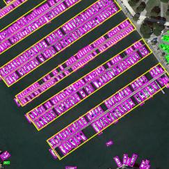
LandCover.ai (Dataset for Automatic Mapping of Buildings, Woodlands, Water and Roads from Aerial Imagery)
Introduced by Boguszewski et al. in LandCover.ai: Dataset for Automatic Mapping of Buildings, Woodlands, Water and Roads from Aerial ImageryThe LandCover.ai (Land Cover from Aerial Imagery) dataset is a dataset for automatic mapping of buildings, woodlands, water and roads from aerial images.
Dataset features
- land cover from Poland, Central Europe
- three spectral bands - RGB
- 33 orthophotos with 25 cm per pixel resolution (~9000x9500 px)
- 8 orthophotos with 50 cm per pixel resolution (~4200x4700 px)
- total area of 216.27 sq. km
Dataset format
- rasters are three-channel GeoTiffs with EPSG:2180 spatial reference system
- masks are single-channel GeoTiffs with EPSG:2180 spatial reference system
Papers
| Paper | Code | Results | Date | Stars |
|---|
Dataset Loaders
No data loaders found. You can
submit your data loader here.
No data loaders found. You can
submit your data loader here.


