Simultaneous Localization and Mapping
136 papers with code • 0 benchmarks • 18 datasets
Simultaneous localization and mapping (SLAM) is the task of constructing or updating a map of an unknown environment while simultaneously keeping track of an agent's location within it.
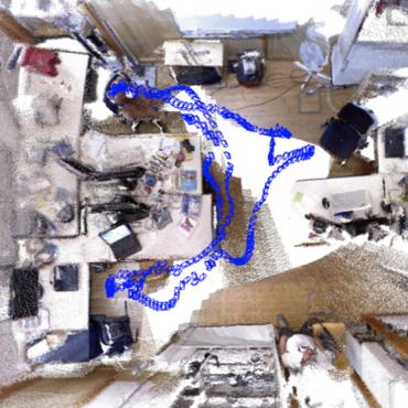
( Image credit: ORB-SLAM2 )
Benchmarks
These leaderboards are used to track progress in Simultaneous Localization and Mapping
Libraries
Use these libraries to find Simultaneous Localization and Mapping models and implementationsDatasets
 TUM RGB-D
 Virtual KITTI
 Virtual KITTI 2
 InteriorNet
 New College
 TUM monoVO
 S3E
S3E
 Bonn RGB-D Dynamic


Latest papers
Event-based Simultaneous Localization and Mapping: A Comprehensive Survey
This paper presents a timely and comprehensive review of event-based vSLAM algorithms that exploit the benefits of asynchronous and irregular event streams for localization and mapping tasks.
Learning How To Robustly Estimate Camera Pose in Endoscopic Videos
aimi-lab/robust-pose-estimator
•
 •
•
Purpose: Surgical scene understanding plays a critical role in the technology stack of tomorrow's intervention-assisting systems in endoscopic surgeries.
Loop Closure Detection Based on Object-level Spatial Layout and Semantic Consistency
Then, we propose a graph matching approach to select correspondence objects based on the structure layout and semantic property similarity of vertices' neighbors.
Point-SLAM: Dense Neural Point Cloud-based SLAM
eriksandstroem/point-slam
•
•
ICCV 2023
We propose a dense neural simultaneous localization and mapping (SLAM) approach for monocular RGBD input which anchors the features of a neural scene representation in a point cloud that is iteratively generated in an input-dependent data-driven manner.
Photometric LiDAR and RGB-D Bundle Adjustment
This paper presents a novel BA photometric strategy that accounts for both RGB-D and LiDAR in the same way.
Region Prediction for Efficient Robot Localization on Large Maps
In topological SLAM the recognition takes place by comparing a signature (or feature vector) associated to the current node with the signatures of the nodes in the known map.
SUPS: A Simulated Underground Parking Scenario Dataset for Autonomous Driving
However, there is a lack of underground parking scenario datasets with multiple sensors and well-labeled images that support both SLAM tasks and perception tasks, such as semantic segmentation and parking slot detection.
FLSea: Underwater Visual-Inertial and Stereo-Vision Forward-Looking Datasets
The stereo datasets include synchronized stereo images in dynamic underwater environments with objects of known-size.
Real-Time Simultaneous Localization and Mapping with LiDAR intensity
To avoid this problem, we extract feature points from the LiDAR-generated point cloud that match features identified in LiDAR intensity images.
Swarm-SLAM : Sparse Decentralized Collaborative Simultaneous Localization and Mapping Framework for Multi-Robot Systems
Collaborative Simultaneous Localization And Mapping (C-SLAM) is a vital component for successful multi-robot operations in environments without an external positioning system, such as indoors, underground or underwater.
