Learning without Exact Guidance: Updating Large-scale High-resolution Land Cover Maps from Low-resolution Historical Labels
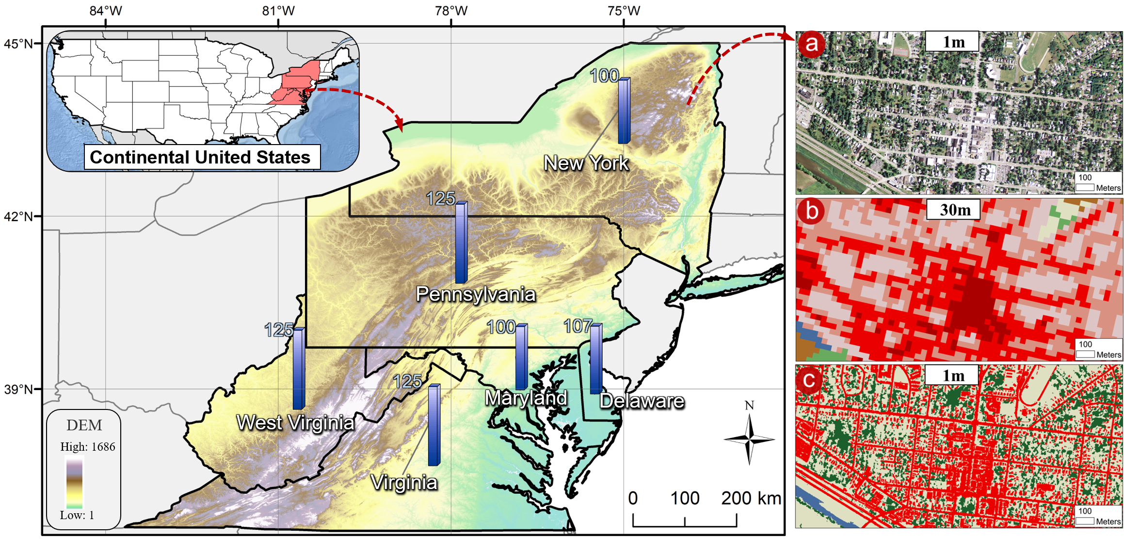
Large-scale high-resolution (HR) land-cover mapping is a vital task to survey the Earth's surface and resolve many challenges facing humanity. However, it is still a non-trivial task hindered by complex ground details, various landforms, and the scarcity of accurate training labels over a wide-span geographic area. In this paper, we propose an efficient, weakly supervised framework (Paraformer) to guide large-scale HR land-cover mapping with easy-access historical land-cover data of low resolution (LR). Specifically, existing land-cover mapping approaches reveal the dominance of CNNs in preserving local ground details but still suffer from insufficient global modeling in various landforms. Therefore, we design a parallel CNN-Transformer feature extractor in Paraformer, consisting of a downsampling-free CNN branch and a Transformer branch, to jointly capture local and global contextual information. Besides, facing the spatial mismatch of training data, a pseudo-label-assisted training (PLAT) module is adopted to reasonably refine LR labels for weakly supervised semantic segmentation of HR images. Experiments on two large-scale datasets demonstrate the superiority of Paraformer over other state-of-the-art methods for automatically updating HR land-cover maps from LR historical labels.
PDF Abstract


